

Just before Easter, the parish of Firth, in Orkney’s West Mainland, was the destination for a student fieldtrip looking at the finer details of walkover surveys.
Led by lecturer Martin Carruthers and ORCA’s Dan Lee, the group examined two known sites around the Loch of Wasdale.
Walkover surveys allows archaeologists to identify and record visible features in the landscape. Anything of potential significance is documented, planned and photographed and its location recorded. Surveys incorporate work on site with details already on record, such as aerial images and old maps.

At Wasdale, the students’ practical work began on an old farmstead and enclosure to the north of the loch.
The site is a puzzling one. The remains of a two-roomed house sit beside a large stone-walled enclosure that surrounds a huge mound. A second enclosure lies directly to the west.
Little is known about the farmstead, so the site gave the students the opportunity to ponder the intricacies of archaeological survey and interpretation.
At the farmstead, for example, why was the mound enclosed by a substantial wall? Did it pre-date the construction of the walls or accumulate afterwards?
The aim of a walkover survey, however, is not to answer all the questions but to provide a foundation for any future work.


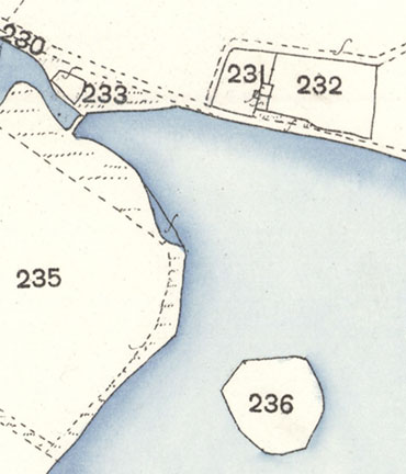
The second site surveyed was the promontory that juts into the north-western end of the loch. These days the area is easily accessible, but old maps show it was once an islet, surrounded by water.
Again, little is known about the promontory but the fact the shoreside edges still show the remains of walling has led to the suggestion it may represent a crannog.
In Scotland these artificial platforms are usually of Iron Age date but in the Western Isles extend back to the Neolithic. Irish examples are mainly medieval in date.
Another example lies directly across the loch to the south-south-east.
Afterwards the group headed to the hills, and the suspected Bronze Age barrows, before looking at the quarry sites near the summit.


